Click on the thumbnails below to see the maps. They are based on the US military series
 |
Notes
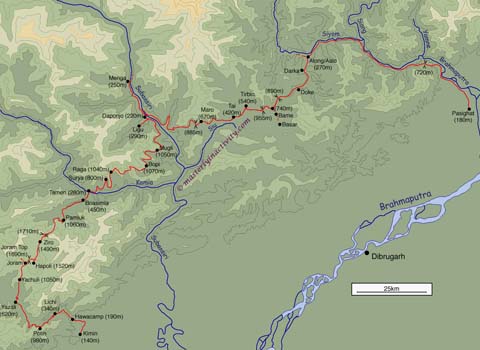
Tawang: The topo map is fairly accurate and the course of roads hasn’t changed much. The main inaccuracy is in altitudes, especially at the upper reaches of valleys (say around 2000m): I’ve had to stretch some of the contour lines to accommodate spot heights.
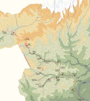
Ziro: The orignal survey seems to have been accurate for the main towns and valleys but the relief of the hills between them appears to have been added by eye. We cannot entirely reconcile the measurements we took with the topographic features visible in the maps. However the discrepancies are not significant at the level of detail of our sketch map.
| 
| |||
Tawang sketch map | Ziro sketch map | |||

| ||||
Key to U502-series topo maps (3–9MB each) | ||||